
Posted on October 16, 2018 at 8:47 AM, updated November 22, 2021 at 3:52 PM Print
Wednesday, October 24, 2018
9:00 a.m. – 4:00 p.m.
Map Walk
of the Middle East
Cleveland State University
Student Center Atrium
2121 Euclid Avenue
Orientations offered at 9:10 a.m., 12:25 and 2:35 p.m.
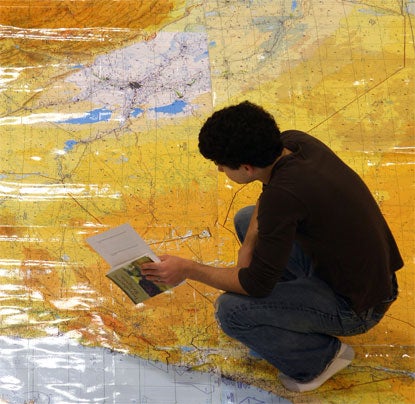
Walk on large, laminated tactical pilotage charts, each at a scale of 1:500,000 (eight miles to the inch) and measuring approx. 3½ x 5 feet, so you can gain a better sense of the geographical layout of the Middle East and Mediterranean region. The maps show cities and towns as well as principal roads, railroads, rivers, bodies of water, distinctive landmarks, spot elevations, contours, elevations tints, and stream-drainage patterns.
See the Middle East in a way that you have never looked at it before!
For more information contact:
Dr. Stephen Cory – RT 1327 - 216.687.6883 - s.cory@csuohio.edu